Iran Expands Maritime Claims in New Strait of Hormuz Map
On 23 May 2026, around 05:54 UTC, Iran published a new maritime map asserting jurisdiction over waters traditionally associated with the United Arab Emirates and Oman in the Strait of Hormuz. The cartographic move risks intensifying tensions in one of the world’s most critical energy chokepoints.
Key Takeaways
- Around 05:54 UTC on 23 May 2026, Iran unveiled a new map asserting jurisdiction over parts of UAE and Omani waters in the Strait of Hormuz.
- The move appears to expand Iranian maritime claims beyond long‑standing understandings and established international practice.
- It coincides with heightened regional friction, including unresolved disputes over Iranian nuclear activities and proxy dynamics.
- The Strait of Hormuz handles a substantial portion of global seaborne oil and liquefied natural gas exports.
- The cartographic shift could trigger diplomatic protests, legal challenges, and increased naval deployments by regional and extra‑regional powers.
On 23 May 2026, at approximately 05:54 UTC, Iranian authorities circulated a new official map depicting maritime boundaries in the Strait of Hormuz that extend Tehran’s claimed jurisdiction into areas traditionally associated with the United Arab Emirates (UAE) and Oman. The redrawn lines effectively assert Iranian control over waters through which a significant share of global energy exports transit each day.
The updated map comes at a time of already elevated regional tensions and may represent an attempt by Iran to codify expansive interpretations of its territorial rights. It is likely to be viewed by Gulf states and Western naval powers as a direct challenge to freedom of navigation and established maritime norms.
Background & Context
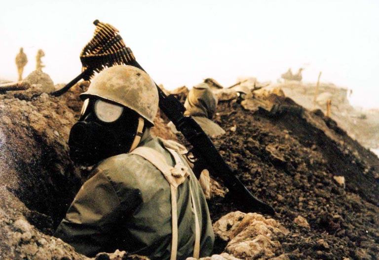
The Strait of Hormuz is a narrow waterway linking the Persian Gulf with the Arabian Sea. It is bordered by Iran to the north and the UAE and Oman to the south. Under international law, including the UN Convention on the Law of the Sea (UNCLOS), coastal states are entitled to territorial seas and exclusive economic zones, but the strait’s status as an international transit route for commercial shipping has been broadly recognized.
Iran has long asserted the right to regulate military and commercial traffic in the strait and has periodically detained foreign tankers, conducted missile and drone tests, and threatened to close or disrupt traffic in response to sanctions or regional crises. Gulf monarchies and Western naval coalitions have countered by emphasizing freedom of navigation and conducting naval patrols to deter harassment.
The new map appears designed to formalize Iran’s claims to contiguous waters and potentially to expand its basis for demanding compliance by foreign vessels, including tankers and warships, with Iranian regulations or inspections.
Key Players Involved
The principal actors include Iran’s government and maritime authorities, as well as neighboring states directly affected by the revised claims—primarily the UAE and Oman. Both states have their own maritime boundary agreements and understandings, which the new Iranian map may be perceived as violating.
External stakeholders include:
- The United States and its allies, whose naval forces regularly operate in and around the strait to secure shipping lanes.
- Major energy exporters such as Saudi Arabia, Iraq, Kuwait, and Qatar, whose oil and gas shipments transit Hormuz.
- Global energy importers—including in Asia and Europe—who are highly exposed to any disruption or increased costs in the strait.
Why It Matters
By asserting jurisdiction over wider areas of the strait, Iran could seek to justify more assertive maritime policing, including boarding, inspection, or even detention of vessels it claims violate Iranian regulations. This would significantly raise the risk of confrontation, miscalculation, or incidents involving foreign-flagged ships.
Even absent immediate enforcement actions, the map signals Tehran’s intent to leverage geography as a strategic tool in its broader disputes with regional rivals and Western powers. It may be used rhetorically to deter potential attacks, influence sanctions negotiations, or reinforce Iran’s position that it can exact a heavy economic price in any conflict by targeting energy flows.
The move is also politically salient domestically, where hardline constituencies favor visible assertions of sovereignty. It may strengthen the position of those within Iran arguing for a more confrontational regional posture, complicating diplomatic efforts aimed at de‑escalation.
Regional and Global Implications
Regionally, the map will likely prompt formal diplomatic protests from the UAE and possibly Oman, as well as emergency consultations among Gulf Cooperation Council (GCC) members. Some states may respond by enhancing their maritime domain awareness, deepening defense coordination, or inviting more visible Western naval presence.
For global markets, any perceived increase in legal or physical risk in Hormuz can influence insurance premiums, shipping rates, and energy prices. Even if no immediate incidents occur, uncertainty over future Iranian enforcement practices can translate into risk pricing and volatility.
The map also intersects with other security dynamics. Israel‑Iran and U.S.‑Iran tensions, proxy confrontations in Iraq and Syria, and disputes over Iran’s nuclear program all create a combustible backdrop. The re‑drawing of maritime boundaries adds another potential flashpoint where tactical incidents could have strategic consequences.
Outlook & Way Forward
In the short term, attention should focus on official reactions from the UAE and Oman and whether they seek recourse through diplomatic channels, regional organizations, or international legal mechanisms. The tone and intensity of their responses will shape whether this becomes a contained legal dispute or a broader geopolitical standoff.
Naval postures in and around the Strait of Hormuz will also be critical indicators. Any uptick in Iranian Revolutionary Guard naval activity, new inspection regimes, or harassment of commercial traffic would signal Tehran’s intent to operationalize its claims. Conversely, restraint and behind‑the‑scenes diplomacy could keep tensions in check while negotiations or clarifications proceed.
Over the medium term, the episode is likely to drive further securitization of energy routes, including investments in alternative export pipelines bypassing Hormuz and expanded naval cooperation among states reliant on Gulf energy flows. Analysts should monitor patterns of tanker routing, insurance costs, and the frequency of maritime incidents to assess whether the new map remains primarily symbolic or becomes a practical tool of coercive leverage.
Sources
- OSINT